🥶 TRI-CITY WEATHER ALERT | THURSDAY EVENING
STRONG COLD FRONT ARRIVES TONIGHT; TRI-CITY TEMPERATURES EXPECTED TO DROP INTO THE 40S
TUTTLE • NEWCASTLE • BLANCHARD — Oklahoma has finally remembered it’s October.
A strong cold front is moving into central Oklahoma tonight, bringing gusty north winds, falling temperatures and a much cooler start to Friday.
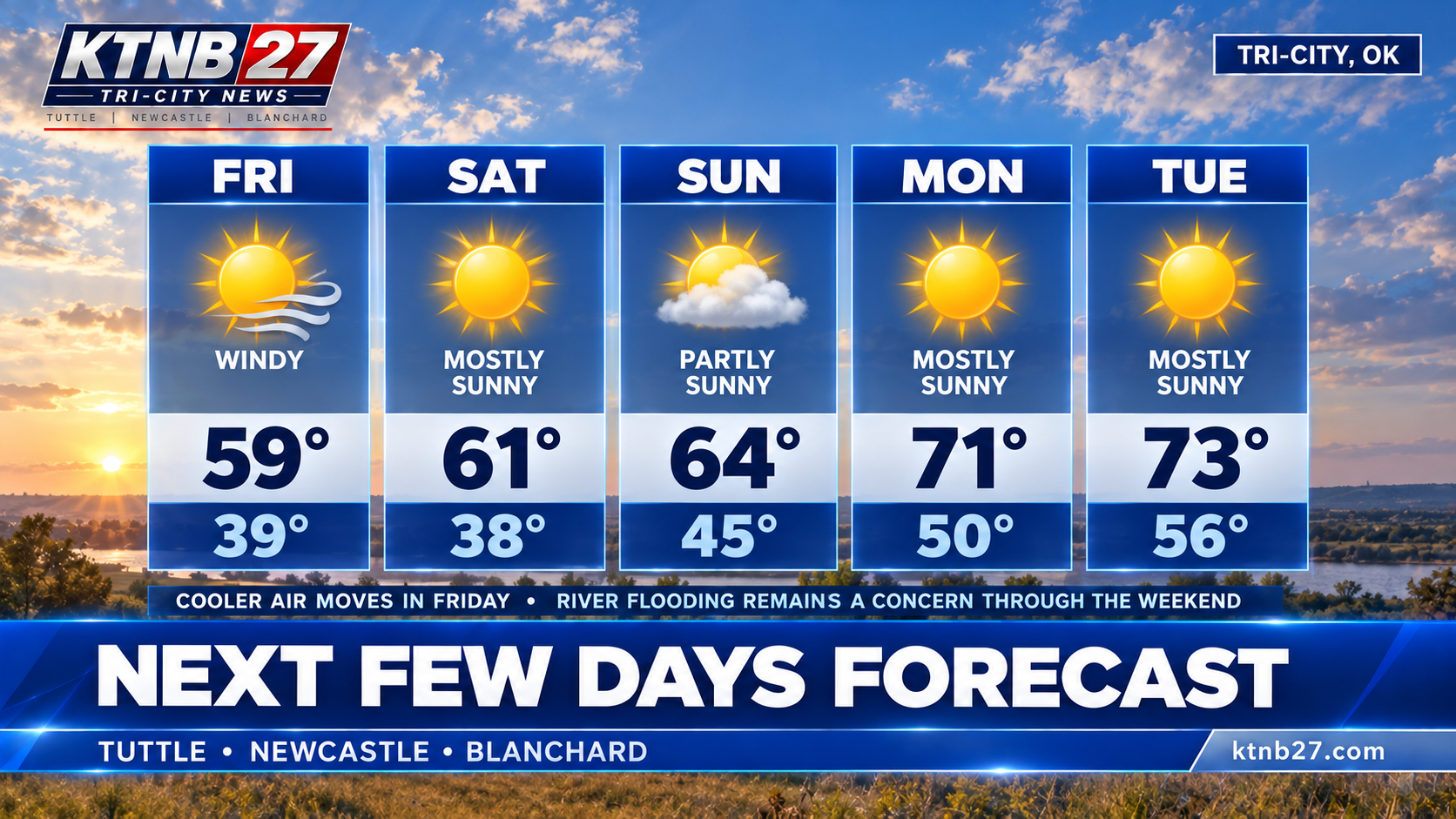
🌡️ TONIGHT: Temperatures steadily fall through the 60s and 50s, reaching the upper 40s by Friday morning.
💨 OVERNIGHT: North winds around 20–22 mph, with gusts approaching 30 mph.
🥶 FRIDAY: Highs struggle to reach 60°, with wind gusts potentially reaching 35–40 mph.
☀️ SATURDAY: Sunshine returns, but temperatures remain cool, with morning lows possibly dipping into the upper 30s.
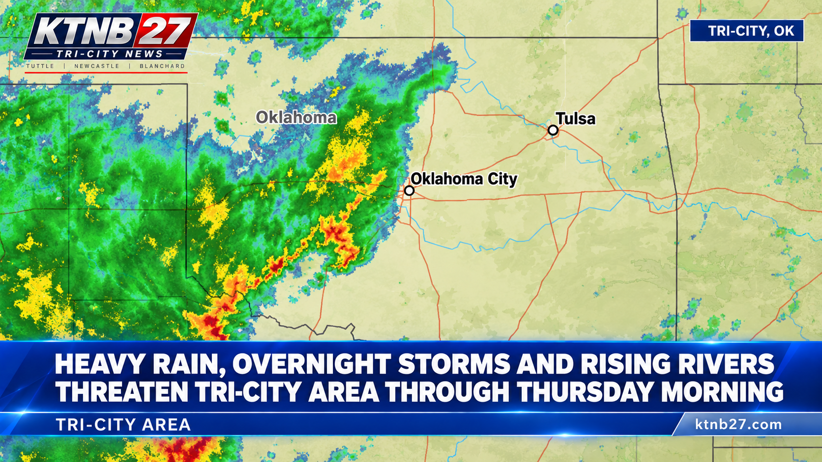
⚠️ FLOODING: Despite improving weather, the National Weather Service continues to warn of rising water along the Canadian River near Tuttle and Newcastle. Flooding could persist through the weekend.
After several days of thunderstorms, excessive rainfall and humidity, residents can finally expect some actual fall weather.
Apparently, Oklahoma located the October temperatures it misplaced sometime around Labor Day.
Unfortunately, they arrived with a 35-mph shipping charge.
We’ve broken down what to expect overnight, how cold Friday will get and why flooding remains a concern even after the rain ends.
Full forecast at KTNB27.com
KTNB 27 Tri-City News — Local News. Allegedly.™
KTNB27 #TriCityWeather #OklahomaWeather #ColdFront #FloodWarning